
SMART LOCATION · GEOVISORS

Geoviz

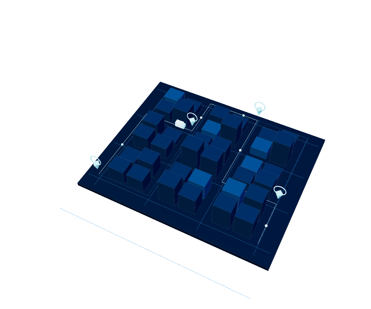
Centralizes and processes data on traffic, incidents and road conditions to help authorities and urban managers make strategic decisions based on real information.

Explore Geoviz ↓

City Observatory

Centralizes and processes data on traffic, incidents and road conditions to help authorities and urban managers make strategic decisions based on real information.

  • Road infrastructure planning.
  • Real-time traffic management.
  • Sports event planning.
  • Research and development of urban solutions.
  • Risk prevention and emergency management.
01

City Observatory

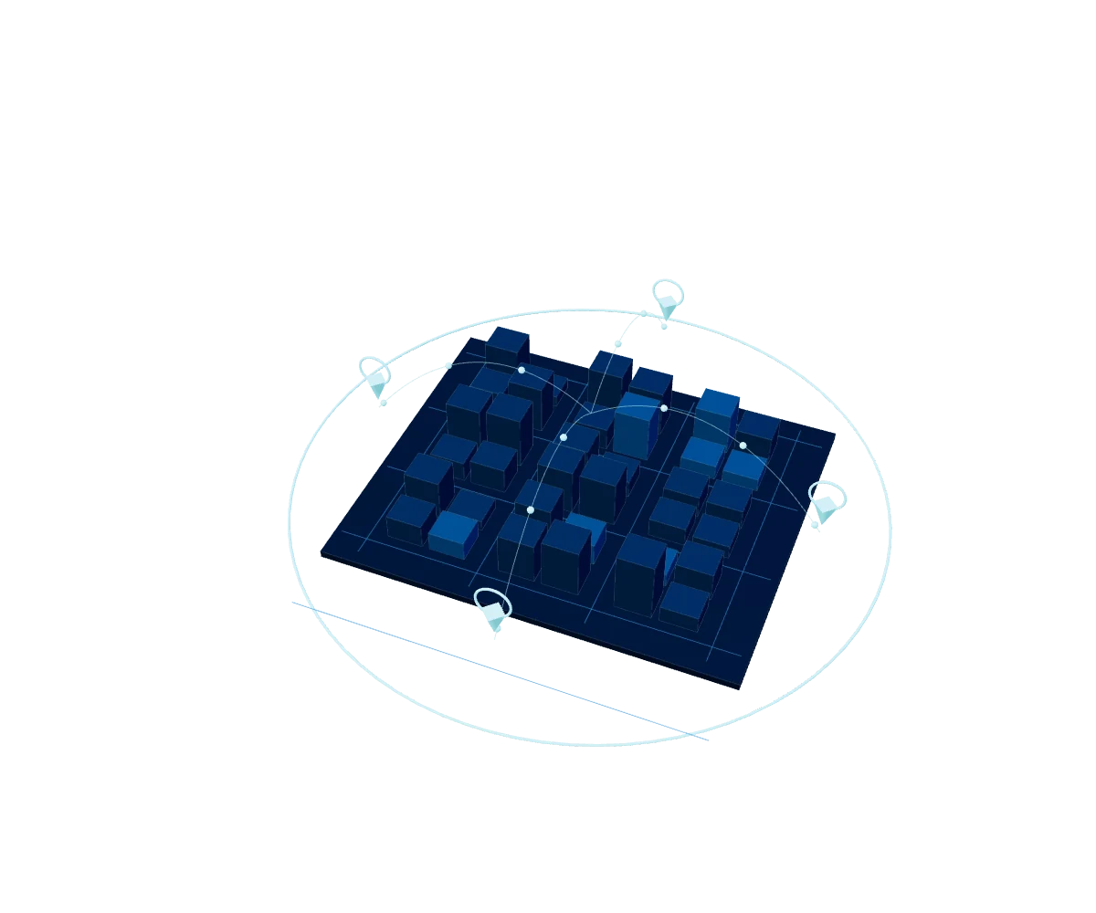
Observatorio de Ciudades is an innovative digital platform that turns data into practical knowledge for urban management. It integrates several solutions that deliver detailed information on movement within a city —among them ServiHuella, Google Earth Engine, Waze for Cities, Strava, DataViz and GeoViz— to support road planning, real-time traffic management and risk prevention.
Three distinctive features

Real-time information

Provides real-time information on traffic, accidents and other conditions across the city's roads.

Historical data since 2019

Delivers historical data since 2019 on traffic, accidents and other conditions across the city's roads.

Trends and analysis

Supplies trends and analysis to identify critical spots in the city, enabling informed, data-driven decisions.

Components

Vehicle mobility

Accidents, closures, congestion, alerts and traffic, with data from Waze for Cities.

Sports activity

Cycling, running and swimming routes with intensity data, from the Strava API.

Human mobility

Permanent, floating and total footprints of people, with data from ServiHuella.

Physical events

Geodemographics, floods, landslides and physical land transformation, with data from Google Earth Engine.

YOUR NEXT BIG PROJECT STARTS HERE

Better decisions.
New opportunities.

Do you have a data, cloud, AI or cybersecurity challenge?
Tell us and we'll suggest where to start.